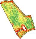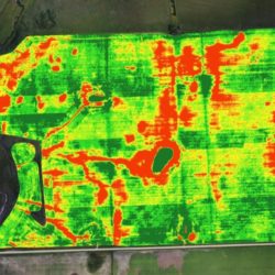
GeoFIS : an open source platform to process Precision Agriculture data
All the data acquisition systems positioned in and around agricultural fields generate a very large amount of information on the functioning of production systems. However, this raw data from the sensors alone is of little interest. This data must be placed in a particular production context and processed with tailor-made algorithms in order to be Read more about GeoFIS : an open source platform to process Precision Agriculture data[…]