Codes R dans QGIS pour analyse spatiale

R codes to be used in QGIS and a QGIS plugin to work in Precision Agriculture

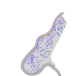
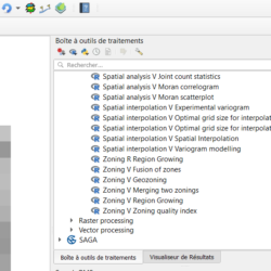
We propose, in Beta version, a set of R codes (more than forty) and a QGIS plugin to manipulate and process data acquired in the framework of Precision Agriculture. The R codes and the QGIS plugin can be retrieved from the Aspexit GitHub account. Remember to read the tutorials to learn how to retrieve the Read more about R codes to be used in QGIS and a QGIS plugin to work in Precision Agriculture[…]

Quantifying the within-field heterogeneity or variability in agriculture

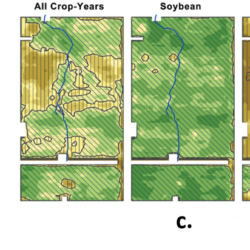
There is no such thing as a perfectly homogenous agricultural field ! And this is simply due to the fact that we work with living organisms and that we are confronted with phenomena that are all more complex than each other (soil, climate, plants, agricultural practices…), and which also have the unfortunate tendency to interact Read more about Quantifying the within-field heterogeneity or variability in agriculture[…]

Linear modelling of spatial data in R

We will work here on a dataset that is fairly well known in spatial analysis – the “meuse” dataset – in order to reintroduce a number of concepts to those who would like to engage in linear modelling of spatialized data. This case study will be treated under the R language. One of the big Read more about Linear modelling of spatial data in R[…]

How to generate spatially correlated data?

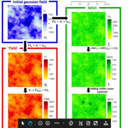
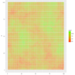
Generally speaking, when we want to evaluate the robustness and/or generality of an algorithm, we need to test it on a large number of data, with quite varied characteristics, to ensure that the algorithm will give conclusive results in the vast majority of cases. If we had the means to have real data or field Read more about How to generate spatially correlated data?[…]

Working with high-resolution data in precision agriculture

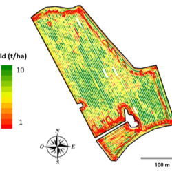
Precision Agriculture is a data-based discipline; data that is collected to measure, describe, quantify, understand, or analyze agrosystems. A wide variety of measurement systems have been developed to measure agronomic parameters of interest, from plant vegetation status to crop yield, including weed detection and soil physico-chemical parameters. These increasingly sophisticated systems make it possible to Read more about Working with high-resolution data in precision agriculture[…]

Producing profitability maps from yield maps?

In spite of the emulation around precision agriculture and digital agriculture in France, it is clear that these tools and solutions are not yet widespread in the field. Some recent statistics from the French observatory of digital uses in agriculture can testify to this: less than 10% of farmers used variable-rate tools in 2018, as few Read more about Producing profitability maps from yield maps?[…]

Filtering – Cleaning Yield Maps

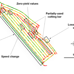
In the previous post, a fairly general picture of yield sensors and associated data was drawn. Here we return to a recurring question related to yield data: How can we ensure that yield data are reliable enough to be used properly? We will therefore review the main sources of uncertainty in these data sets; and Read more about Filtering – Cleaning Yield Maps[…]

GeoFIS : an open source platform to process Precision Agriculture data

All the data acquisition systems positioned in and around agricultural fields generate a very large amount of information on the functioning of production systems. However, this raw data from the sensors alone is of little interest. This data must be placed in a particular production context and processed with tailor-made algorithms in order to be Read more about GeoFIS : an open source platform to process Precision Agriculture data[…]

Simulating spatial datasets with known spatial variability

The simulation of fields with varying spatial structures is an interesting strategy when it comes to testing or evaluating a specific processing method. The main advantage of simulations is that one is able to control the data distribution within the field so that the context under which the processing method is applied is well-known. For instance, one might Read more about Simulating spatial datasets with known spatial variability[…]

Implementing variograms in R

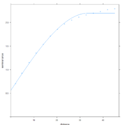
Computing an experimental variogram The usefulness of variograms in Precision Agriculture studies have been largely detailed in a previous post. This is effectively a valuable tool to study the spatial structure of agronomic and environmental spatial datasets. This post will make use of a dataset that was created following the methodology of the post : “Simulating spatial Read more about Implementing variograms in R[…]